
 The Pleasant View Ridge Wilderness doesn’t seem to get much attention. Despite living nearby, I have been ignoring it for years as well. Callie and I hit the trail to rectify that mistake and got in a great training hike in the process.
Trail Details
Mileage: 11 Miles
Elevation Gain/Loss: 3600 feet
Day(s) Hiked: 3/29/15
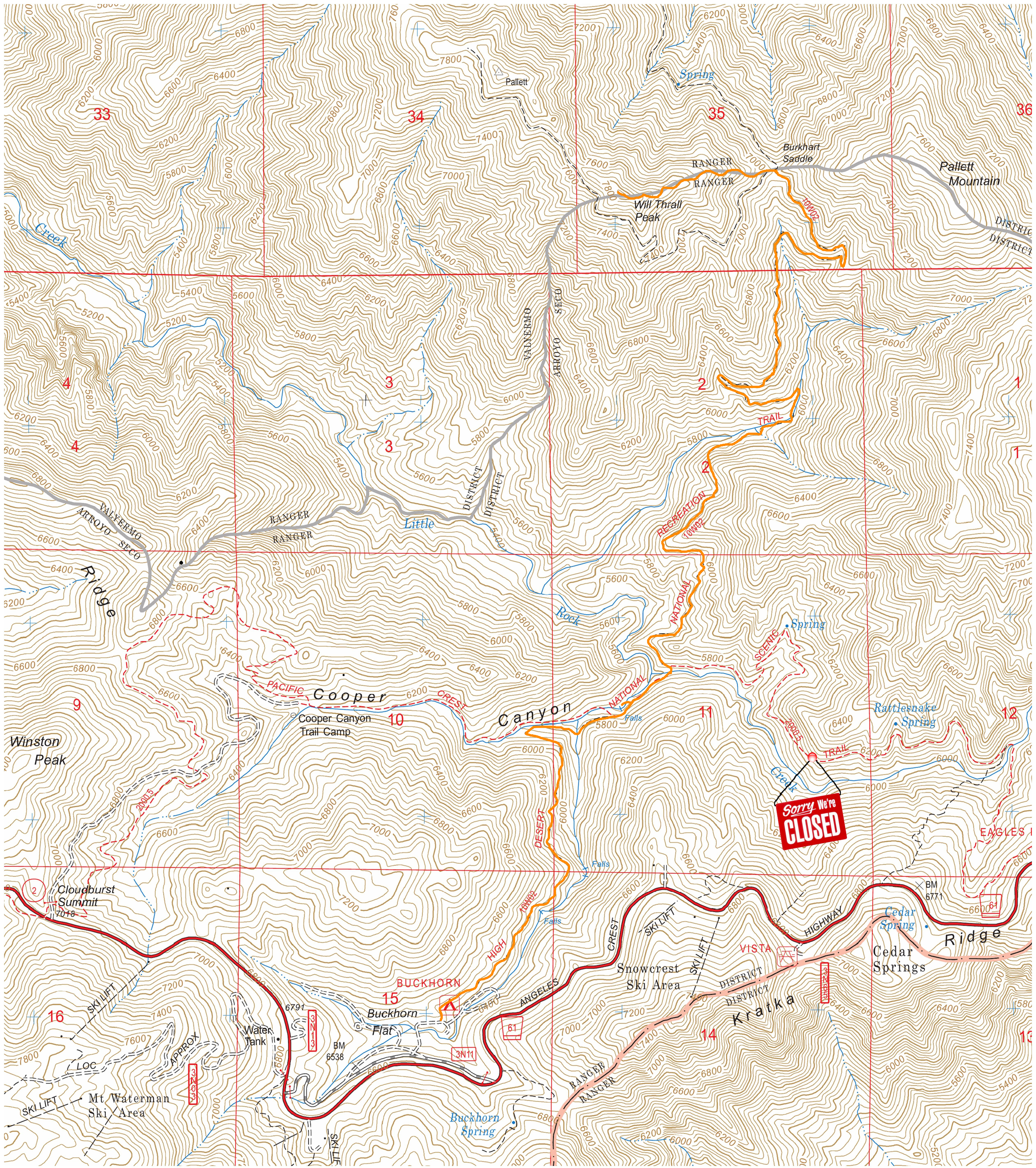
Trailhead Location
Dog Friendly: Yes
Trip Report
April just started and summer is already officially on in Southern California. At least it feels that way. The daytime highs reached the 90’s again this past weekend, and all of the lower elevation trails that are normally perfect this time of year were getting baked by the sun. The Antelope Valley Poppy Reserve should be reaching its peak for wildflowers around now, and this year the bloom has already reached its conclusion after getting scorched by unseasonably warm weather.
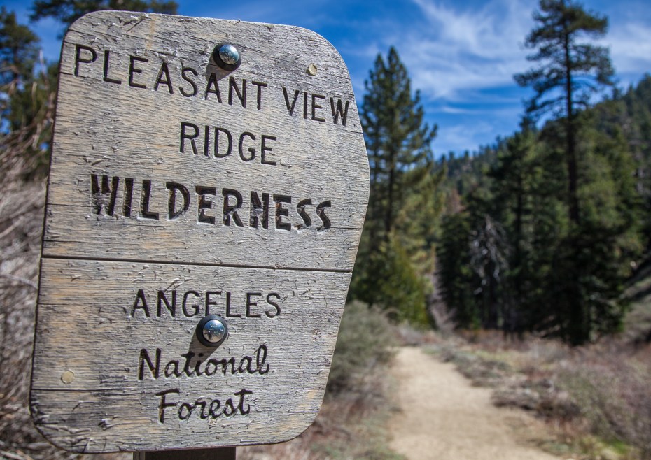
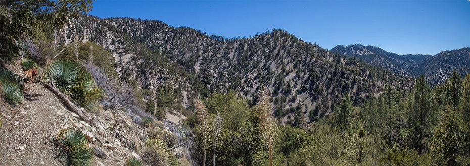
I headed up the Angeles Crest Highway on a Sunday morning to clear my head and beat the early season heat. It turns out that a lackadaisical start ended up ruling out my goal of “beating the heat”, as I arrived at the trailhead at the stupidly late time of 11:30. Further exasperating my late arrival was the fact that Buckhorn Campground was still closed, which added about another mile to my hike. Ironically, the campground opened up a couple of days later. The upside was getting to see the campground in such a pristine state in utter silence. This was the first time I’ve been to Buckhorn and I was quite impressed with how nice it is. 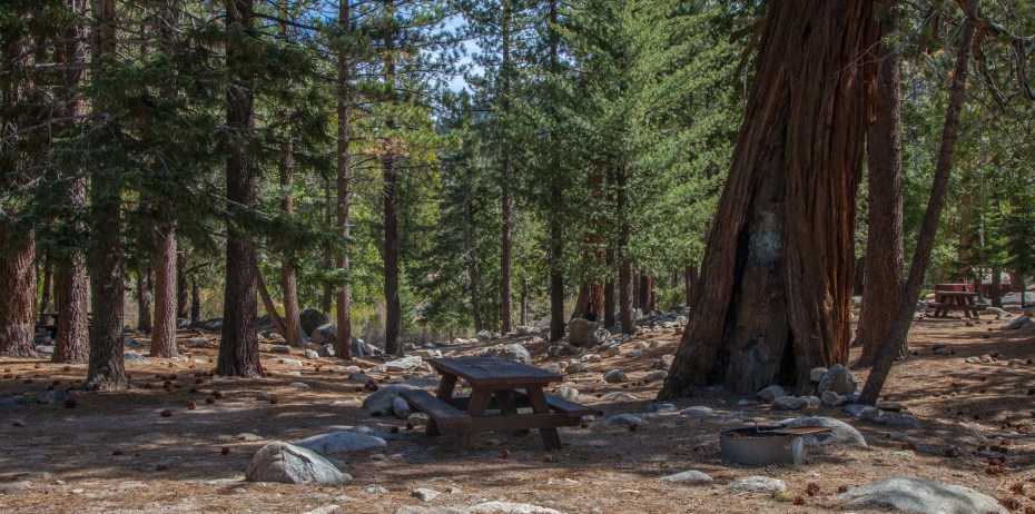 After walking to the trailhead on the edge to the campground, we entered the Pleasant View Ridge Wilderness and began to head down the Burkhart Trail. This is a very nice area of the San Gabriel mountains, with plenty of healthy stands of trees that have avoided the wild fires and disease that have plagued so many California forests.
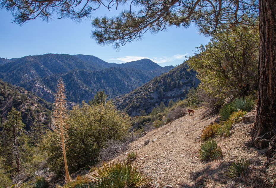
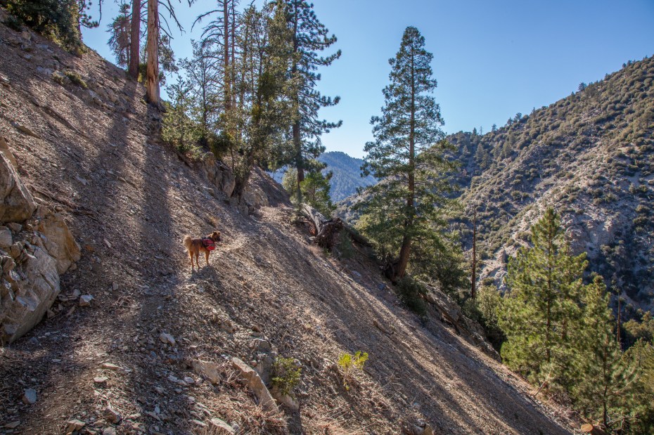
 The initial part of the hike is a descent down into Cooper Canyon. As the trail heads down, the occasional view pops up of the backcountry that we were heading towards. The landscape here also starts to give you a taste of what is to come, as the riparian forest that dominates this stretch of the Burkhart Trail occasionally gives way to more arid stretches higher in the river canyon.
 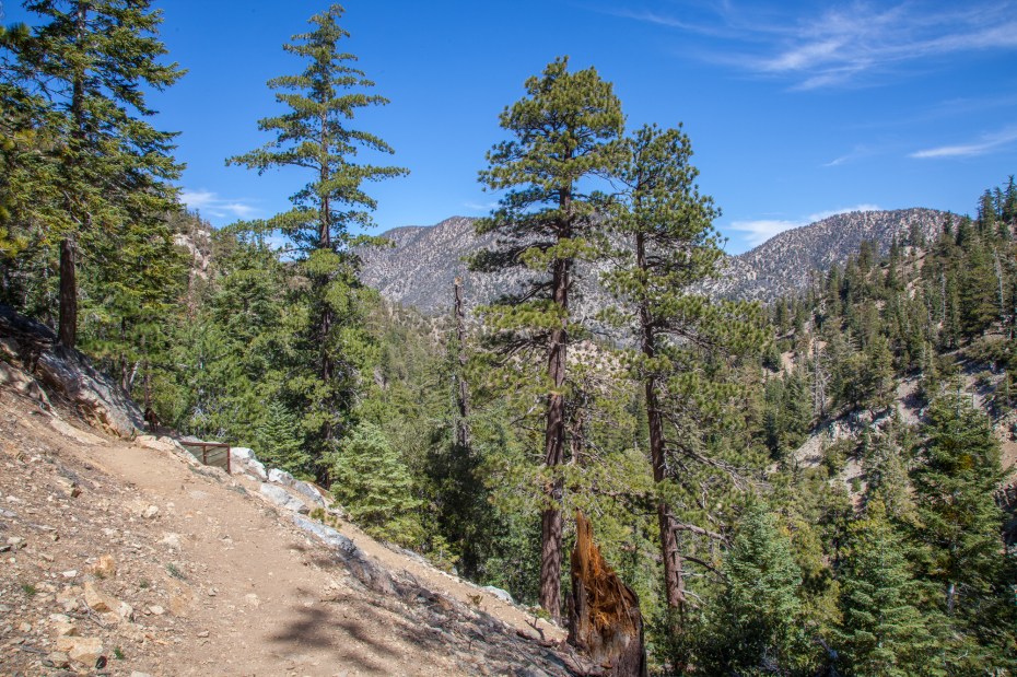 It doesn’t take long to hike down to Cooper Canyon, where the trees again can easily fool you into thinking you are hiking anywhere but Los Angeles.
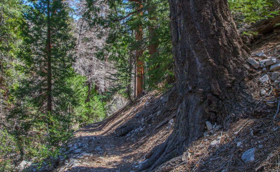
 After about a mile and a half, the trail reaches the PCT. We took a right to continue on to Will Thrall Peak. Shortly after the junction, the trail passes Cooper Canyon Falls which is one of the nicer waterfalls in the LA area. Take the second use trail that you reach to get to the falls for easiest access. There is a steep and wet scramble over some rocks at the bottom of the approach, but there is fortunately a rope set up that makes it easy to safely ascend and descend up that one ten foot section. The downside is that Callie had to stay behind temporarily while I took a photo of the falls. The waterfall is still flowing steadily but it is a sad trickle compared to what it should be like this time of year. There are signs of the drought everywhere you look in the California Wilderness now.
  Shortly after the waterfall, the trail ascends out of Cooper Canyon and the rest of the stretch towards the ridge line with Will Thrall Peak is considerably more arid and exposed than the first part of the hike. This feels much more like a traditional Southern California trail.
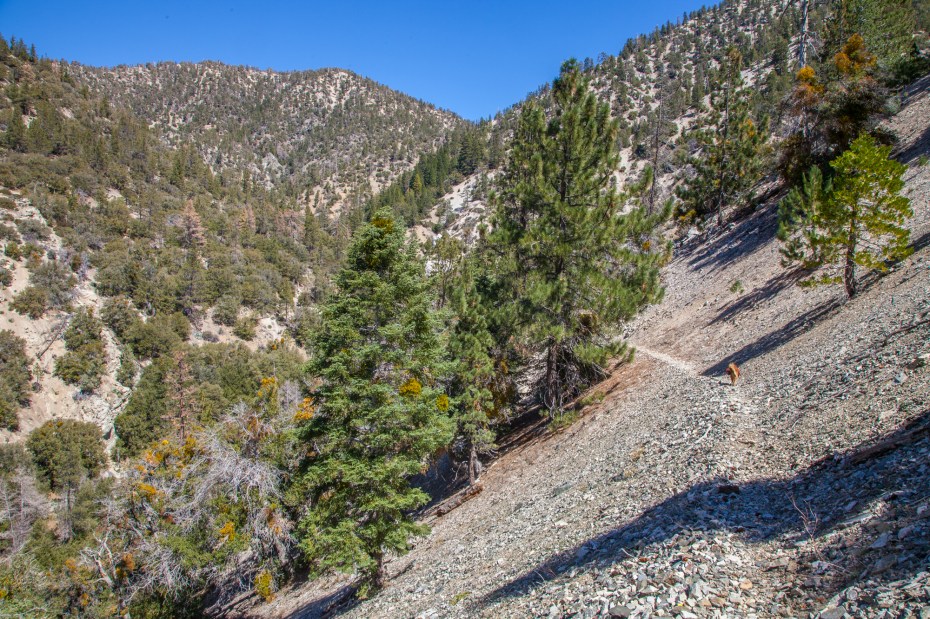
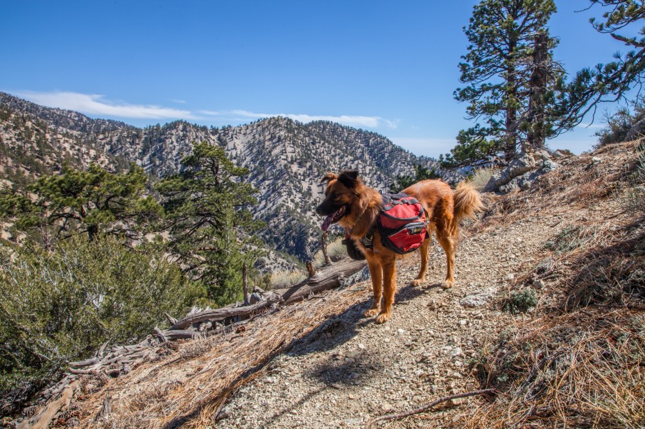
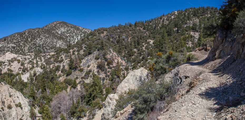
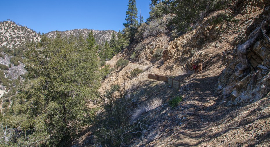
Other than the short use trail leading up towards Will Thrall Peak, there is no particularly steep section on this hike, but it still packs in plenty of elevation change. If you look at a topo map of the trail casually it’s easy to assume that the hike from Cooper Canyon to Burkhart Saddle is pretty flat. It actually has a few dips and humps that you have to traverse as you enter and exit a number of side canyons, which adds a lot of extra elevation gain to a seemingly flat section of trail on the map. Fortunately for us, those side canyons provided seasonal springs which still had enough water for Callie to get a small drink. I expect they will be dry within a month.
 The landscape also begins to get taken over by an abundance of desert flora which helps emphasize the drastic shift between the two zones of the hike. We hit this section of trail during the peak of the afternoon heat, so the yucca felt fitting in relation to the hot weather that we were experiencing.
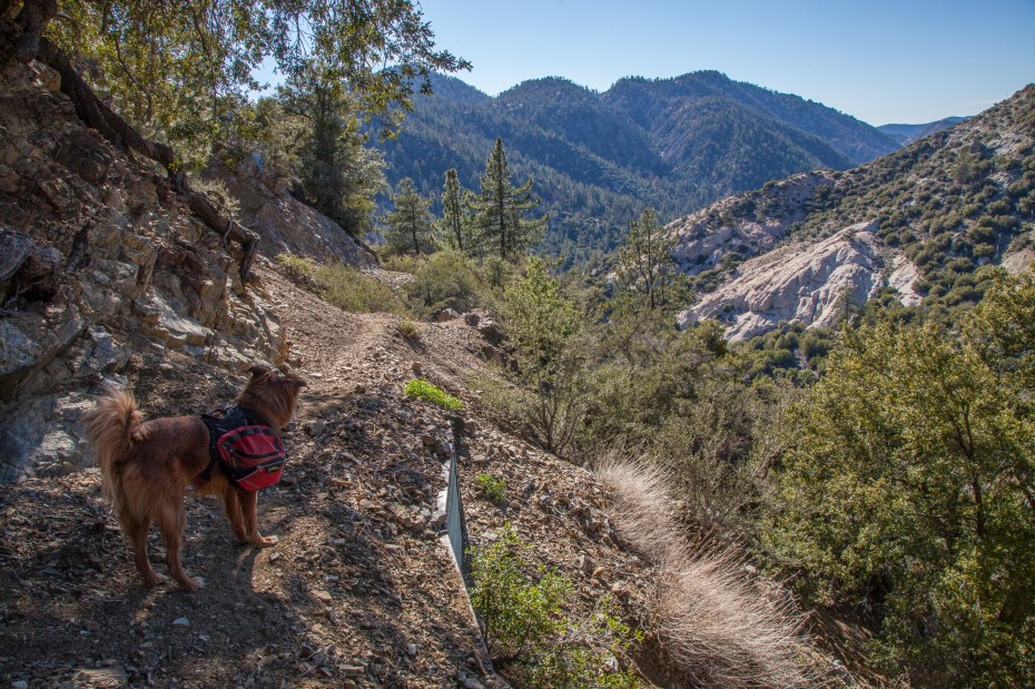
 As the trail does its final approach to the Pleasant View Ridge, views of Pallet Mountain begin to open up on the right.
 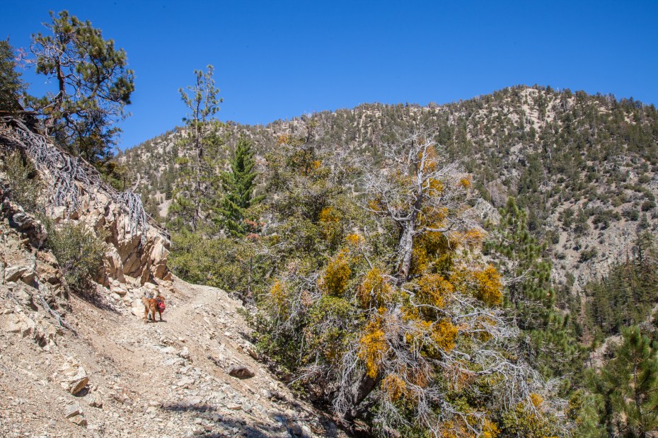 Shortly after, views of Will Thrall pop up on the left side of the trail. From here, the profile of the ridge line of the mountain comes into view. The use trail from Burkhart Saddle to Will Thrall Peak goes directly up this ridge, so the profile gives you a good preview of the last hump to get up to the top. It’s not steep enough to cause any safety concerns, but it is steep enough to make you wish that you exercised more.
 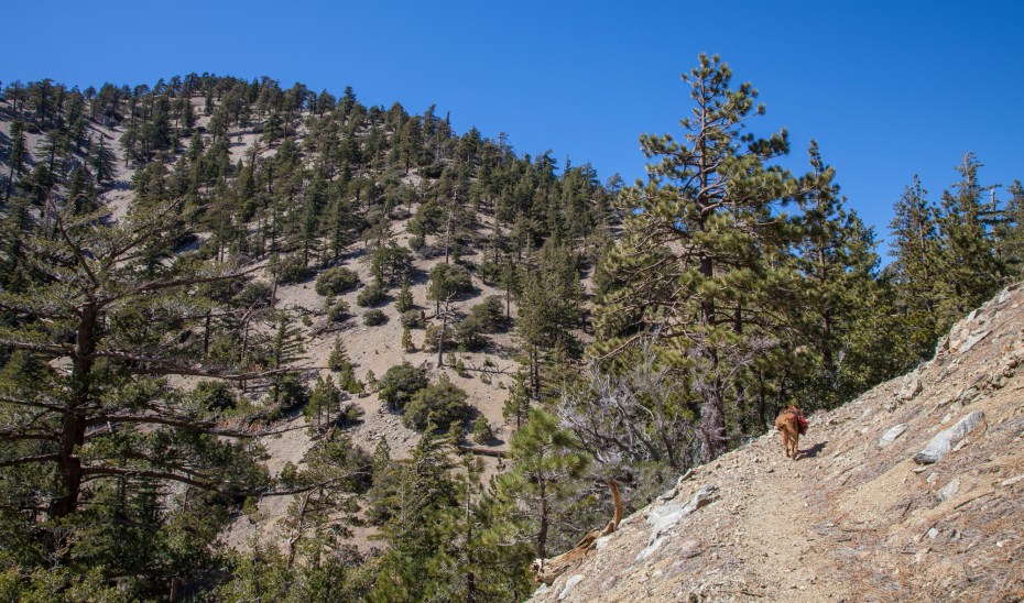 We haven’t been on the trail much this year, so this stretch absolutely kicked my butt. Callie patiently took in the views of the surrounding wilderness while I dragged myself up the use trail.
 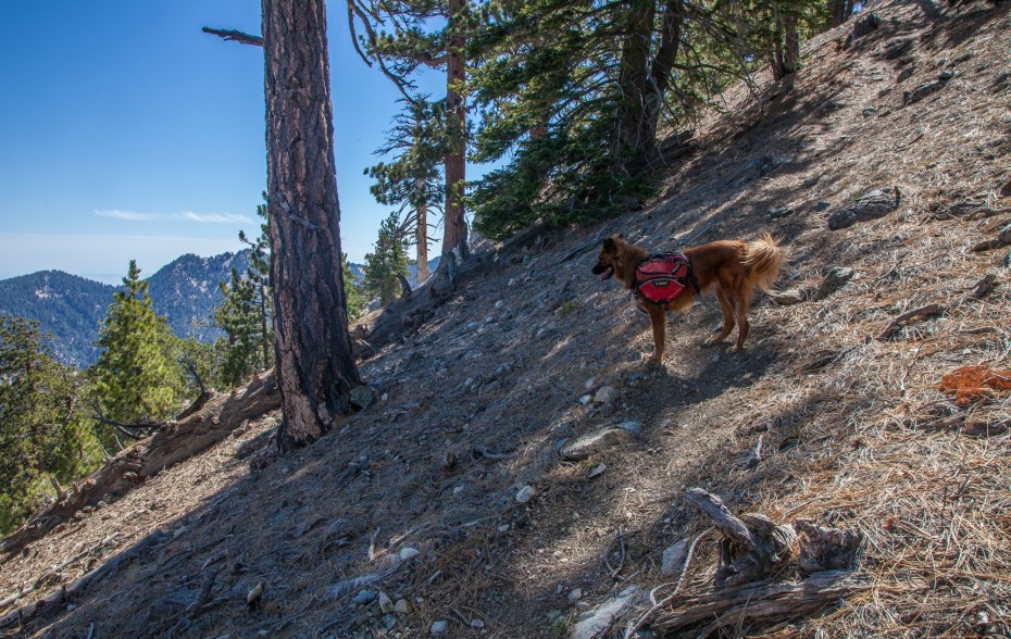 The summit of Will Thrall peak is nice, but like many summits in the San Gabriels, it has limited views due to a flat top and trees blocking your view. There is a plaque to commemorate the location though, which features one of the cooler tributes to a person that I have ever seen.
 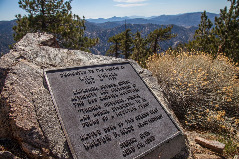 After a short summit break, we began our return to the car. This is a one way hike so our route back was identical to the hike to the summit. We started with the use trail back down to Burkhart Saddle. This stretch features some of the best views of the hike, so we deliberately slowed down our pace and savored in the views as much as possible on the descent.
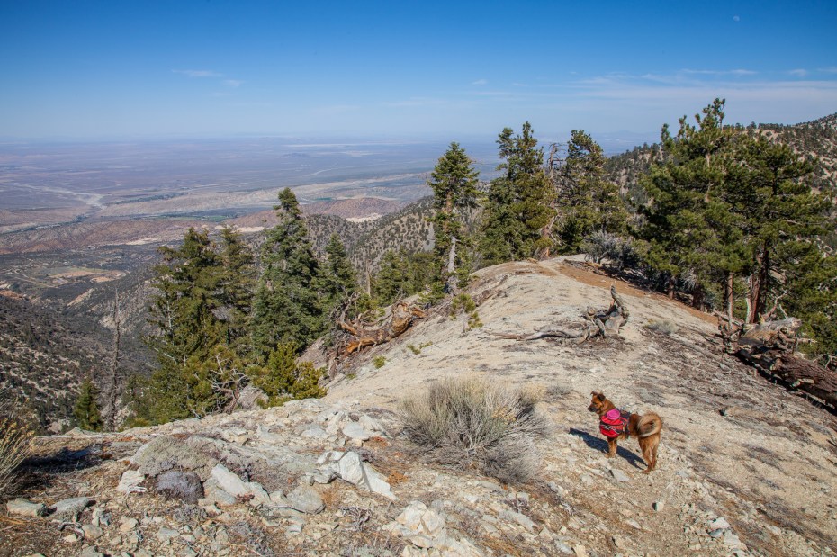
 Slowing down isn’t a bad idea here anyways. There are some super steep sections where it’s quite easy to slip.
  After the saddle, the trail feels like easy going, and it’s mostly downhill all the way back to Cooper Canyon, outside of a couple short uphill stretches out of side canyons. By now, we only had a few hours of light left so we didn’t waste much time on the descent.
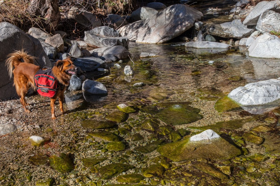
We did take a break at Cooper Creek though, mainly so that Callie could fully rehydrate and cool down in the creek water. The water flow here is still strong for now.
It’s a short mile and a half from Cooper Creek back to Buckhorn Camp. Unfortunately, the hike ends with an uphill stretch. After a long day on the trail in the sun, we were both beat and I was dreading my lack of conditioning by the final ascent. We’ve got some training to do to get ready for our summer plans.


I noticed you mentioned that Callie rehydrated out of the stream. I’ve been wondering about that, i.e. if it’s okay for dogs to drink untreated water. I’ve read elsewhere that dogs should drink filtered water. Callie has inspired me to get my own trail dog in the future since I usually hike solo. Has she ever gotten sick from untreated water?
Yeah, I have read that dogs can get Giardia and that you should treat the water that they drink. I was raised with the belief that dogs are dogs, and they don’t need to be coddled much. My childhood dogs regularly drank from streams and ponds and never got sick, so I’ve decided to let Callie drink freely when we are out on the trail. So far so good. That does not mean that it could not happen to her at some point, or to another dog. It’s a risk that I have chosen to take.
You are a trail guide artist. We really enjoy watching your trips. We have been hiking out west for years, even though we live in the sticks in East Texas. Last BP was big pine, north fork, one you did such a good job on. Thanks a lot. We are already signed up for your posts.
Thank you for that comment Randy. Your appreciation means a lot to us.
We did your exact route today. I even printed out and brought along this blog post complete with all the photographs of Cali dog enjoying views. We brought our Rex along. This was supposed to be his first hike wearing the dog backpack we just bought from REI. Then we decided against it once we got there. It’s a long trek for him to wear the pack first time. I must say this hike made me wish I was in better shape for most of it. And that last scramble up to the top is a serious thigh burner. Thanks for your post! We really enjoyed bringing our black Lab pup along, and he certainly enjoyed it, too.
Sounds like a blast.
Beautiful pictures & description. Looking forward to checking out this trail with my pupster soon!
Great post!
Pingback: Hiking the High Desert Loop | CaliTrails
do you know if you are allowed to camp in the backcountry here?
I believe you can.
Beautiful photos and helpful review!